Gurri River Environmental Route
The Gurri River Environmental Route is an uninterrupted riverside route stretching more than eight kilometres from the Benages Meanders to the area of Les Casasses. We can continue a few kilometres downriver beyond Les Casasses all the way to the confluence of the Gurri with the Ter. It’s a very pleasant riverside stroll, alternating between the left and right banks of the Gurri.
Although it’s a continuous route, it can be split into various sections.
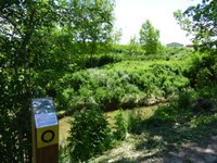
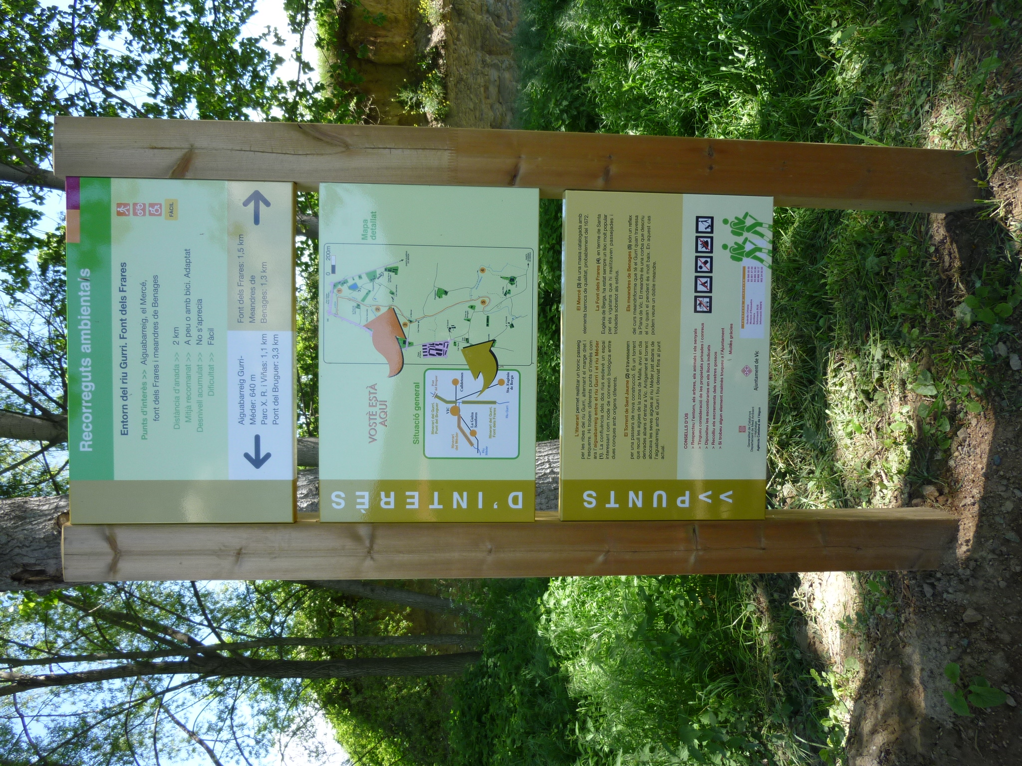
Route around the Gurri River - Els Frares Spring

We start at the Benages Meanders (15) on the old Taradell road, a small path on the left bank of the river.
The meandering course of the Gurri River as it runs through the Vic Plain is well reflected here. The meander is a bend that occurs in river channels with shallow gradients. In this case we can observe a double meander.
We cross to the right bank of the river over a purpose-built pass and find indications for the Els Frares Spring (14), in the municipal district of Santa Eugènia de Berga. This spring, currently lost, was always a very popular place for locals, who would stroll and meet up there, especially in the summer.
Further downriver, we cross back to the left bank over a footbridge and come to El Mercé (13), a listed farmhouse with high quality baroque elements that probably date back to 1672.
 Moving along, we reach the Sant Jaume Stream and cross it over a newly built footbridge. This stream receives the waters of the Malla area. In ancient times it emptied its waters into the Mèder River just before its confluence with the Gurri but was later diverted to its present-day course, before reaching Vic.
This path has been partially adapted (1000 m) for the blind in the form of specific signs and independent access to the area, with ground guides. The path has also been adapted for persons with reduced mobility (1,700 m). Both initiatives have received the technical assistance of the ONCE (Spanish Organisation for the Blind) and ADFO (Osona Association for the Disabled).


Social networks