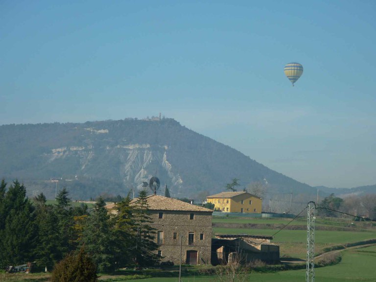
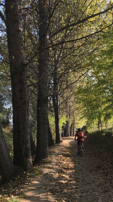
GREEN BELT
This a natural circuit around the city,

structured through a group of sites
of great ecological, scenic, historical
and cultural importance, giving visitors
the chance to enjoy and explore the
municipal district from an environmental
and sociocultural perspective.
 Natural circuit around the city, articulated
by a group of enclaves of high ecological,
landscape value, historical and cultural, which allows
environmental assessment and sociocultural the periphery
of the city enjoying the municipal term.
It is a route of about 24 kilometers.
Distance: 24 km./Time: 6h- 3h / Accumulated difference in
le: 280m.
 Link East · West
Section that crosses the Anella Verda across the Mèder River from Molí del Soler to the confluence with the Gurri River
Distance: 5.2 km./Time: 2h15'- 1h /Accumulated difference in level: 50m
 North · South link
Section that intertwines the Anella Verda
to the south from the municipality of Malla to the Vic sports area
Distance: 3.2 km./Time: 1h15'- 0h.30m / Accumulated difference in level: 30m.
In addition to the main circuit, it includes the following itineraries:
 Puig dels Jueus (Jew’s Hill)
After crossing the historical centre of Vic,
the route leads to Puig dels Jueus (Jews’ Hill), following a circular trail within the park forest.
Distance: 6,1 km. / Time: 1h 45 min - 2h 30 min. / Accumulated difference in level: 40m.
 La Guixa
Circular route along the banks
of the Mèder River as far as the hamlet of La Guixa/Sentfores.
The neoclassical Church of La Guixa is a highlight.
Distance: 7,4 km. / Time: 2h- 3h / Accumulated difference in level: 50m.
 The Gurri river at Bruguer Bridge
Family excursion in an environmentally
rich riverside forest setting where the Gurri River is crossed
by the Gothic-style Bruguer Bridge. Distance: 6,8 km. /
Time: 2h- 3h / Accumulate difference in level: 30m.
 The Gurri river at the Els Frares spring
Extension of the Gurri River trail that reaches the Benages Meander.
The route has been adapted for wheelchair access.
Distance: 2,1 km. / Time: 30
min - 40 min./ Accumulated difference in level: 20m.
 Sant Francesc s’hi moria
Trail to the eastern edge of Vic
along the Gurri River and through crop fields. The Chapel of Sant Francesc s’hi Moria is
one of the highlights of the trail.
Distance: 12,7 km. / Time: 3h - 4h 30 min. /
Accumulated difference in level: 40m.
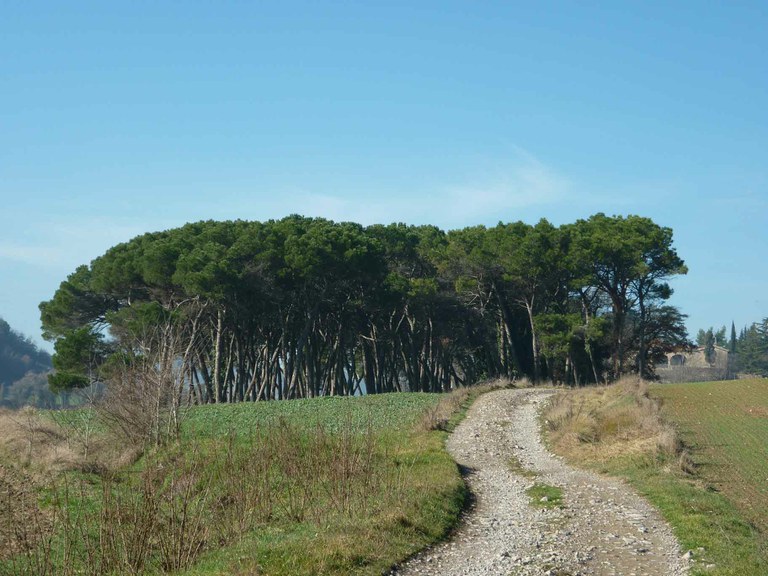
 Costes males
Scenic trail on which to enjoy
the biodiversity of riverside forests, crop fields and Costes Males,
an important geological site.
Distance: 12,8 km. /Time: 2h 30 min - 3h 45 min. / Accumulate ddifference in level: 200m.
 Sant Sebastià
Circular route taking in one
of the sites most loved by Vic’s citizens. The Chapel of Sant Sebastià
is an important site in the history of Catalonia, it being the place where the Pacte dels Vigatans
(Treaty of the Vic Gentry) was signed.
Distance: 16,9 km. / Time: 5h
30 min. / Accumulate difference in level: 410m.
Itinerary 3
Section: Gurri to Pont del Bruguer


Social networks